Loading...
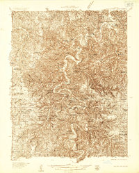
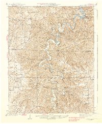
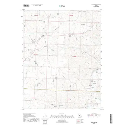
Loading map...1934 Map of Macks Creek
USGS Topo · Published 1934About this map
The Niangua River snakes through the heart of this Ozark landscape, carving deep bends and high bluffs such as Collison Bluff and Guthrie Bluff. In the early 1930s, the region was defined by its isolated rural infrastructure, anchored by the Tunnel Dam and the rising waters of the Lake of the Ozarks in the northeast. Small-scale social and recreational hubs are prominent, from the Mozark Club and Green Gables Lodge to the curiously named Johnston Castle.
Find a feature on this map
68 named features on this map. Tap any name to fly to it.
Don’t see what you’re looking for? This feature index may not catch every label — zoom into the map to look around manually.
Map Details
Date Portrayed1934
Date Published1934
PublisherU.S. Geological Survey
Map TypeTopographic
Scale1:48,000
Physical Dimensions21.9 x 27.3 inches
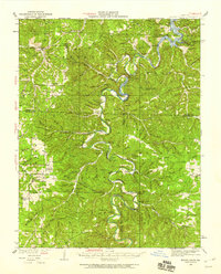
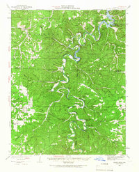
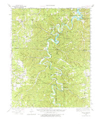
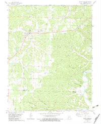
Editions of this 1934 Macks Creek Map
4 editions found
Historical Maps of Camdenton Through Time
7 maps found
Featured Locations
Source Details
SourceU.S. Geological Survey
CopyrightPublic Domain