
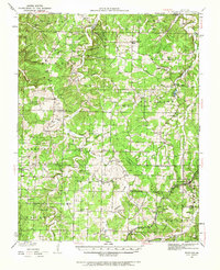
1933 Map of Stoutland
USGS Topo · Published 1962About this map
St Louis San Francisco railroad service anchors the community of Stoutland in the early 1930s, serving as a primary transit artery through the hilly borderlands of Camden and Laclede Counties. The landscape is defined by the winding course of Dry Auglaize Creek and its many tributaries, such as Williamson Branch and Jordan Creek, which carve deep hollows including Turkey Hollow and Morgan Hollow. These water-carved features dictate the placement of early settlements and rural crossroads like Eldridge, Montreal, and Decaturville.
Find a feature on this map
85 named features on this map. Tap any name to fly to it.
Don’t see what you’re looking for? This feature index may not catch every label — zoom into the map to look around manually.
Map Details
Editions of this 1933 Stoutland Map
2 editions found
Other maps of this area

1888 · Versailles
USGS Topo · 1:125,000

1888 · Tuscumbia
USGS Topo · 1:125,000

1893 · Versailles
USGS Topo · 1:125,000

1894 · Tuscumbia
USGS Topo · 1:125,000

1932 · Versailles No 4
USGS Topo · 1:48,000

1933 · Iberia
USGS Topo · 1:62,500

1934 · Macks Creek
USGS Topo · 1:48,000

1934 · Camdenton
USGS Topo · 1:24,000

1934 · Toronto
USGS Topo · 1:24,000

1934 · Green Bay Terrace
USGS Topo · 1:24,000