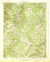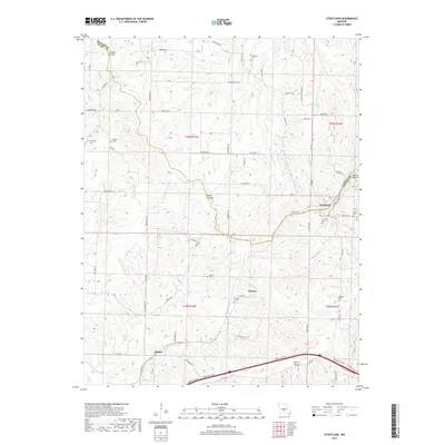
1933 Map of Stoutland
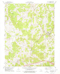
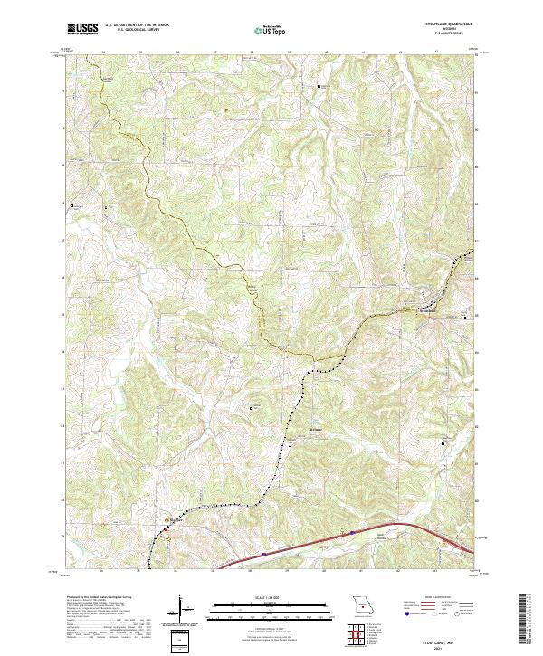
USGS Topo · Published 1966About this map
Stoutland serves as a primary hub for this section of the Ozarks, situated along the St Louis San Francisco railroad. The landscape is defined by the winding course of Wet Glaize Creek and the deep incisions of Goodwin Hollow, reflecting a region where transport followed the ridges and valley floors. This 1930s survey captures a dense network of local landmarks that anchor the rural community, including numerous country schools like Independence Sch and Greenstreet Sch. The presence of Ozark Fisheries near the Camden and Laclede county line points to early commercial aquaculture in the area. Genealogists will find a wealth of family history preserved in the locations of Pleasant Valley Cem, Garrison Cem, and Hillhouse Cem, while the rugged relief of the Devils Backbone illustrates the challenging terrain faced by early settlers in the Osage and Jackson townships.
Find a feature on this map
76 named features on this map. Tap any name to fly to it.
Don’t see what you’re looking for? This feature index may not catch every label — zoom into the map to look around manually.
Map Details
Editions of this 1933 Stoutland Map
2 editions found
Historical Maps of Camdenton Through Time
7 maps found