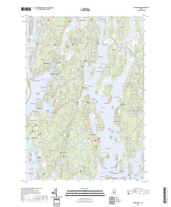
2024 Map of Phippsburg
USGS Topo · Published 2024About this map
Fort Popham stands at the southern tip of the peninsula where the Kennebec River meets the Atlantic, anchoring a landscape defined by deep tidal inlets and jagged coastal points. This modern survey reveals a dense network of family history preserved in cemeteries such as the Lithgow Morse Farms Burying Ground, Dromore Cem, and the Samuel Small Cem. The intricate shoreline is dotted with historic settlements like Phippsburg, Parker Head, and Georgetown, while offshore features like Malaga Island and Hen Island reflect the area's maritime heritage.
Find a feature on this map
253 named features on this map. Tap any name to fly to it.
Don’t see what you’re looking for? This feature index may not catch every label — zoom into the map to look around manually.
Map Details
Editions of this 2024 Phippsburg Map
This is the sole edition of this map. No revisions or reprints were ever made.
Other maps of this area

1893 · Small Point
USGS Topo · 1:62,500

1893 · Boothbay
USGS Topo · 1:62,500

1894 · Bath
USGS Topo · 1:62,500

1919 · Small Point
USGS Topo · 1:62,500

1920 · Bath
USGS Topo · 1:62,500

1941 · Boothbay
USGS Topo · 1:62,500

1943 · Boothbay
USGS Topo · 1:62,500

1944 · Boothbay
USGS Topo · 1:62,500

1944 · Small Point
USGS Topo · 1:62,500

1945 · Bath
USGS Topo · 1:62,500