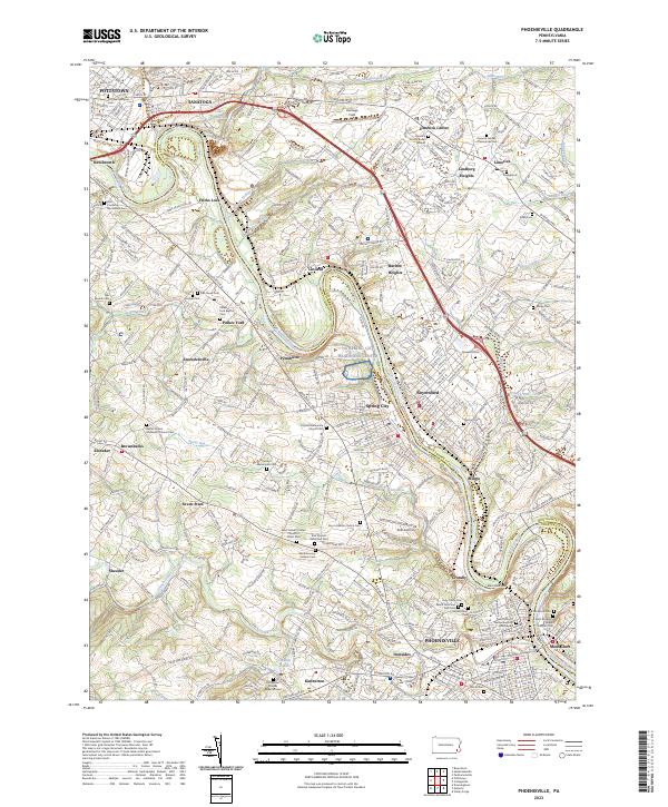
2023 Map of Phoenixville
USGS Topo · Published 2023About this map
The Schuylkill River carves a winding path through this region of southeastern Pennsylvania, acting as the historic boundary between Montgomery Co and Chester Co. Along its banks, the landscape is dotted with long-established settlements including Phoenixville, Royersford, and Spring City. This modern survey reveals a dense network of religious and memorial sites that speak to centuries of local heritage, from the Revolutionary Soldiers Cem to the Kimberton Friends Burial Ground.
Find a feature on this map
94 named features on this map. Tap any name to fly to it.
Don’t see what you’re looking for? This feature index may not catch every label — zoom into the map to look around manually.
Map Details
Editions of this 2023 Phoenixville Map
This is the sole edition of this map. No revisions or reprints were ever made.
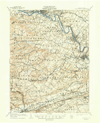
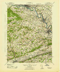
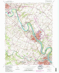
Historical Maps of Upper Providence Township Through Time
4 maps found