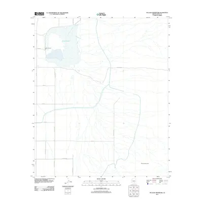
2011 Map of Picacho Reservoir
USGS Topo · Published 2011About this map
Picacho Reservoir dominates this landscape in Pinal County, serving as a critical hydraulic point in the desert irrigation system. The 2011 survey documents the reservoir's footprint and the associated Picacho Reservoir Dam, which controls the water levels for the surrounding agricultural tracts. To the southeast, the terrain begins to rise into the Picacho Mountains, creating a sharp contrast between the flat, gridded basin and the natural desert uplands.
Find a feature on this map
15 named features on this map. Tap any name to fly to it.
Don’t see what you’re looking for? This feature index may not catch every label — zoom into the map to look around manually.
Map Details
Editions of this 2011 Picacho Reservoir Map
This is the sole edition of this map. No revisions or reprints were ever made.
Other maps of this area

1922 · Red Rock No 2
USGS Topo · 1:48,000

1922 · Signal Peak
USGS Topo · 1:62,500

1924 · Signal Peak
USGS Topo · 1:62,500

1934 · Newman Peak
USGS Topo · 1:125,000

1947 · Red Rock
USGS Topo · 1:62,500

1947 · Eloy
USGS Topo · 1:62,500

1948 · Eloy
USGS Topo · 1:62,500

1956 · Tucson
USGS Topo · 1:250,000

1958 · Tucson
USGS Topo · 1:250,000

1959 · Tucson
USGS Topo · 1:250,000