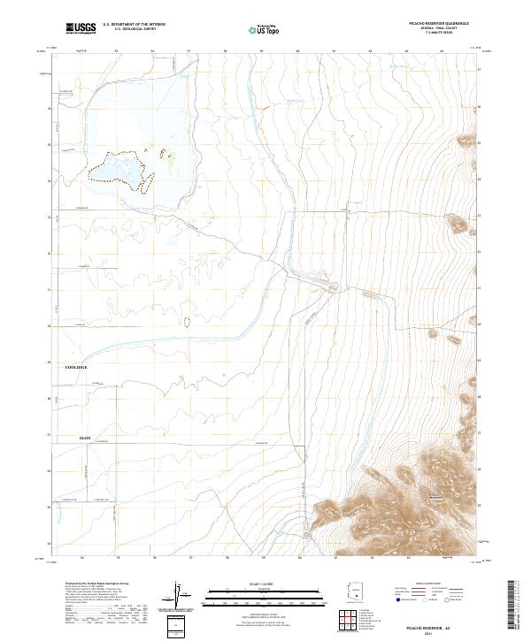
2021 Map of Picacho Reservoir
USGS Topo · Published 2021About this map
The Picacho Mountains rise sharply in the southeast, anchoring a landscape defined by the intersection of desert washes and modern water management. This 2021 map documents a transition from the rugged topography of the mountains down to the irrigated flats of the Santa Cruz Valley. The presence of the Central Arizona Project Aqueduct and the Central Main Canal illustrates the intensive infrastructure required for the agricultural and municipal development of this arid region.
Find a feature on this map
28 named features on this map. Tap any name to fly to it.
Don’t see what you’re looking for? This feature index may not catch every label — zoom into the map to look around manually.
Map Details
Editions of this 2021 Picacho Reservoir Map
This is the sole edition of this map. No revisions or reprints were ever made.
Other maps of this area

1922 · Red Rock No 2
USGS Topo · 1:48,000

1922 · Signal Peak
USGS Topo · 1:62,500

1924 · Signal Peak
USGS Topo · 1:62,500

1934 · Newman Peak
USGS Topo · 1:125,000

1947 · Red Rock
USGS Topo · 1:62,500

1947 · Eloy
USGS Topo · 1:62,500

1948 · Eloy
USGS Topo · 1:62,500

1956 · Tucson
USGS Topo · 1:250,000

1958 · Tucson
USGS Topo · 1:250,000

1959 · Tucson
USGS Topo · 1:250,000