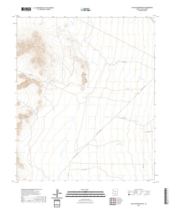
2021 Map of Picacho Reservoir SE
USGS Topo · Published 2021About this map
Granite Hills and the northern reaches of the Picacho Mountains anchor this arid Pinal County landscape, where the drainage patterns of seasonal desert waterways dictate the layout of ranching infrastructure. A network of washes, including Brady Wash, Tom Mix Wash, and McClellan Wash, carve through the terrain, leading toward critical water catchments such as Repecita Tank and Heifer Pasture Tank.
Find a feature on this map
24 named features on this map. Tap any name to fly to it.
Don’t see what you’re looking for? This feature index may not catch every label — zoom into the map to look around manually.
Map Details
Editions of this 2021 Picacho Reservoir SE Map
This is the sole edition of this map. No revisions or reprints were ever made.
Other maps of this area

1922 · Red Rock No 2
USGS Topo · 1:48,000

1934 · Newman Peak
USGS Topo · 1:125,000

1947 · Red Rock
USGS Topo · 1:62,500

1956 · Tucson
USGS Topo · 1:250,000

1958 · Tucson
USGS Topo · 1:250,000

1959 · Tucson
USGS Topo · 1:250,000

1959 · Tortolita Mts
USGS Topo · 1:62,500

1962 · Tucson
USGS Topo · 1:250,000
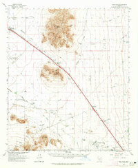
1963 · Red Rock
USGS Topo · 1:62,500

1964 · Tucson
USGS Topo · 1:250,000