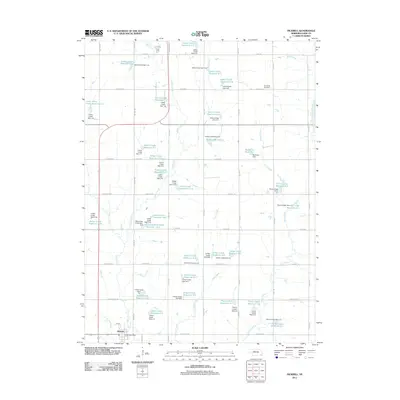
2021 Map of Pickrell
USGS Topo · Published 2021About this map
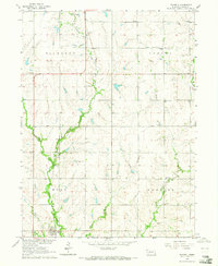
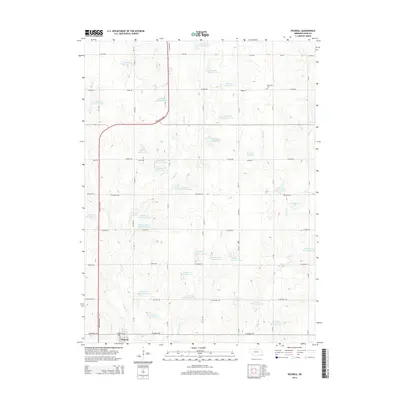
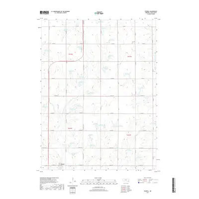
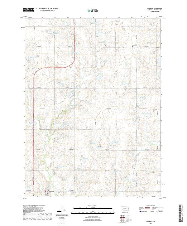
The settlement of Pickrell anchors the southern edge of this Gage County landscape, characterized by a sophisticated network of soil conservation and water management features. The area is defined by numerous small impoundments including Boesiger Reservoir, Busboom Reservoir, and Oir Reservoir 4-C, which reflect decades of intensive agricultural engineering designed to manage the watershed of Indian Creek and its tributaries. These reservoirs are interspersed among a precise grid of rural roads like W Ash Rd and W Pickrell Rd that delineate the agricultural sections.
Find a feature on this map
68 named features on this map. Tap any name to fly to it.
Don’t see what you’re looking for? This feature index may not catch every label — zoom into the map to look around manually.
Map Details
Editions of this 2021 Pickrell Map
This is the sole edition of this map. No revisions or reprints were ever made.
Historical Maps of Pickrell Through Time
5 maps found