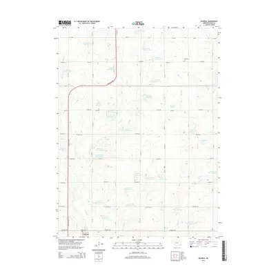
2014 Map of Pickrell
USGS Topo · Published 2014About this map
Pickrell sits at the southern edge of this Southeast Nebraska landscape, serving as a focal point for a region defined by an extensive network of water management. The terrain is notably marked by dozens of small reservoirs, such as Boesiger Reservoir, Busboom Reservoir, and the numerous numbered catchments along Indian Creek. These features indicate a highly engineered agricultural environment designed to manage the flow of local tributaries into the larger Indian Creek and Pierce Creek systems.
Find a feature on this map
76 named features on this map. Tap any name to fly to it.
Don’t see what you’re looking for? This feature index may not catch every label — zoom into the map to look around manually.
Map Details
Editions of this 2014 Pickrell Map
This is the sole edition of this map. No revisions or reprints were ever made.
Other maps of this area
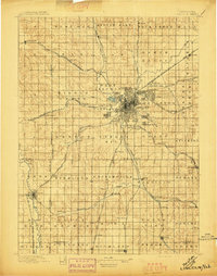
1897 · Lincoln
USGS Topo · 1:125,000
1955 · Lincoln
USGS Topo · 1:250,000
1957 · Lincoln
USGS Topo · 1:250,000
1957 · Clatonia
USGS Topo · 1:24,000
1957 · Beatrice West
USGS Topo · 1:24,000
1957 · Beatrice East
USGS Topo · 1:24,000
1958 · Lincoln
USGS Topo · 1:250,000
1964 · Cortland
USGS Topo · 1:24,000
1964 · Pickrell
USGS Topo · 1:24,000
1964 · Hallam
USGS Topo · 1:24,000