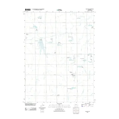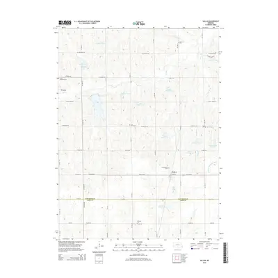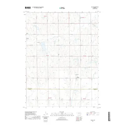
1964 Map of Hallam
USGS Topo · Published 1965About this map
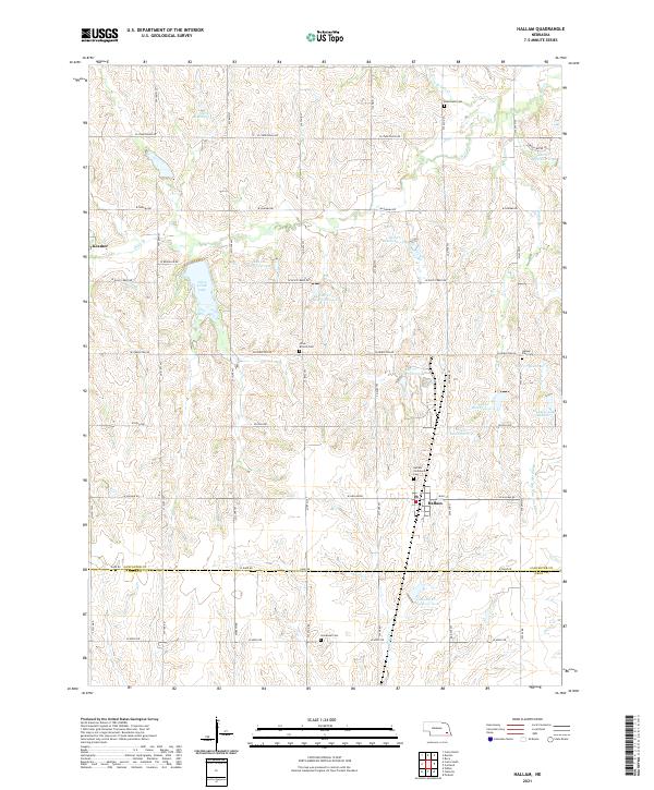
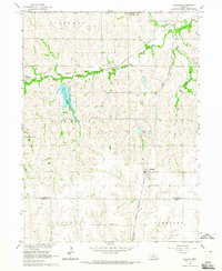
Hallam and the small settlement of Kramer anchor this mid-1960s landscape along the Lancaster and Gage County line. The era's emphasis on utility and leisure is evident in the newly established Olive Creek Lake State Recreation Area and Bluestem Lake State Recreation Area, which converted rural drainage basins into managed parklands. At the same time, the presence of a Powerplant and nearby Substation north of Hallam reflects the growing energy infrastructure of southeastern Nebraska during this period.
Find a feature on this map
38 named features on this map. Tap any name to fly to it.
Don’t see what you’re looking for? This feature index may not catch every label — zoom into the map to look around manually.
Map Details
Editions of this 1964 Hallam Map
This is the sole edition of this map. No revisions or reprints were ever made.
Historical Maps of Hallam Through Time
5 maps found