
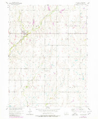
1957 Map of Clatonia
USGS Topo · Published 1958About this map
Clatonia sits at the intersection of agricultural transport and rural community life in southeastern Nebraska. The Chicago Rock Island and Pacific railroad cuts a diagonal path through the township, following the valley formed by Clatonia Creek. This corridor historically dictated the placement of settlements and grain transport, while the surrounding uplands of Clatonia, Highland, Grant, and Holt townships remained anchored by a dense network of country schools and churches.
Find a feature on this map
20 named features on this map. Tap any name to fly to it.
Don’t see what you’re looking for? This feature index may not catch every label — zoom into the map to look around manually.
Map Details
Editions of this 1957 Clatonia Map
2 editions found
Other maps of this area

1897 · Lincoln
USGS Topo · 1:125,000

1955 · Lincoln
USGS Topo · 1:250,000

1957 · Lincoln
USGS Topo · 1:250,000

1957 · Plymouth
USGS Topo · 1:24,000

1957 · Beatrice West
USGS Topo · 1:24,000

1957 · Wilber
USGS Topo · 1:24,000

1957 · Beatrice East
USGS Topo · 1:24,000

1958 · Lincoln
USGS Topo · 1:250,000

1964 · Cortland
USGS Topo · 1:24,000

1964 · Pickrell
USGS Topo · 1:24,000