
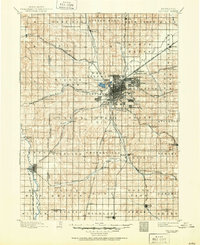
1957 Map of Lincoln
USGS Topo · Published 1957About this map
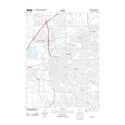
Lincoln and its surrounding agricultural plains appear at a moment of significant mid-century transition on this mid-1950s survey. The landscape is defined by a dense grid of township lines and a sophisticated rail network, including the Chicago and North Western and the Chicago Burlington and Quincy lines. To the northwest of the city, the footprint of Lincoln AFB reflects the military presence of the Cold War era. Smaller rural nodes like McCool Junction, Fairmont, and Weeping Water serve as essential collection points for the region's produce, situated along the tributaries of the Blue River and Salt Creek. The map documents numerous small rail stops and settlements, such as Knox Station and Goehner, many of which were central to local life before the consolidation of rural services and the expansion of the modern highway system.
Find a feature on this map
140 named features on this map. Tap any name to fly to it.
Don’t see what you’re looking for? This feature index may not catch every label — zoom into the map to look around manually.
Map Details
Editions of this 1957 Lincoln Map
This is the sole edition of this map. No revisions or reprints were ever made.
Historical Maps of Lincoln Through Time
10 maps found
1897 Lincoln
Lancaster County, NE
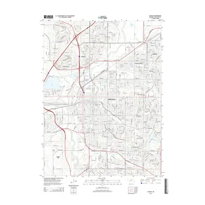
1955 Lincoln
Lancaster County, NE
1957 Lincoln
Lancaster County, NE

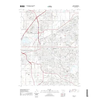
1958 Lincoln
Lancaster County, NE
1964 Lincoln
Lancaster County, NE
1986 Lincoln
Lancaster County, NE
2011 Lincoln
Lancaster County, NE
2014 Lincoln
Lancaster County, NE
2017 Lincoln
Lancaster County, NE
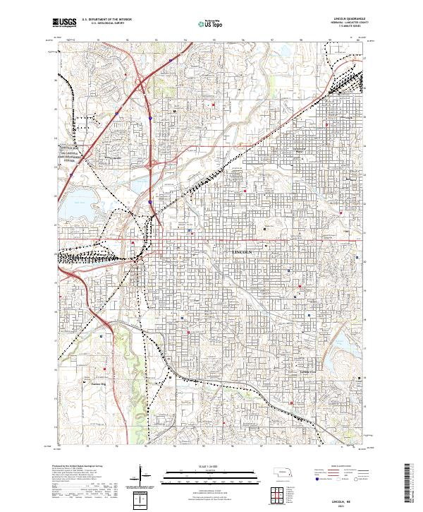
2021 Lincoln
Lancaster County, NE