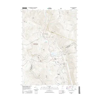
2015 Map of Pico Peak
USGS Topo · Published 2015About this map
Pico Peak and the surrounding Coolidge Range dominate this 2015 topographic study of the central Green Mountains landscape. The map captures the high-elevation settlements of Sherburne Center, Killington, and Killington Village at a time when the region was firmly established as a premier mountain destination. Beyond the resort infrastructure, older layers of local history remain visible through family landmarks like the Anthony Family Cem and the South Hill Cem. The terrain is characterized by deep gaps and basins, most notably at Sherburne Pass and The Basin, while the Appalachian National Scenic Trail winds along the ridgelines. Significant water bodies including Kent Pond, Colton Pond, and the Ottauquechee River drain the slopes, illustrating the complex watershed that defines this portion of Rutland County.
Find a feature on this map
92 named features on this map. Tap any name to fly to it.
Don’t see what you’re looking for? This feature index may not catch every label — zoom into the map to look around manually.
Map Details
Editions of this 2015 Pico Peak Map
This is the sole edition of this map. No revisions or reprints were ever made.
Other maps of this area

1891 · Rutland
USGS Topo · 1:62,500

1893 · Rutland
USGS Topo · 1:62,500

1911 · Woodstock
USGS Topo · 1:62,500

1913 · Woodstock
USGS Topo · 1:62,500

1915 · Rochester
USGS Topo · 1:62,500

1917 · Rochester
USGS Topo · 1:62,500

1919 · Royalton
USGS Topo · 1:62,500

1924 · Randolph
USGS Topo · 1:48,000

1926 · Randolph
USGS Topo · 1:62,500

1943 · Woodstock
USGS Topo · 1:62,500