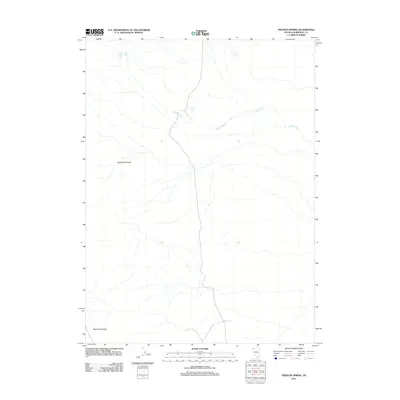
2011 Map of Pidgeon Spring
USGS Topo · Published 2011About this map
Pidgeon Spring serves as a central landmark in this high-desert region of Humboldt County, where the stark transition between mountain and basin is clearly defined. The terrain is dominated by the southern reaches of the Black Rock Range, which gives way to the expansive flatlands of the Black Rock Desert in the south. This 2011 survey documents a landscape where water is the primary organizing principle for any human or biological activity. Waterways like Indian Creek and the localized Indian Springs trace delicate paths through the arid environment, illustrating the sparse but critical drainage patterns that have historically dictated movement and land use in this part of Nevada. The map captures the fundamental layout of the region before modern digital-only shifts, providing a clear record of established desert landmarks and topographic boundaries.
Find a feature on this map
5 named features on this map. Tap any name to fly to it.
Don’t see what you’re looking for? This feature index may not catch every label — zoom into the map to look around manually.
Map Details
Editions of this 2011 Pidgeon Spring Map
This is the sole edition of this map. No revisions or reprints were ever made.
Other maps of this area

1886 · Disaster
USGS Topo · 1:250,000
1889 · Long Valley
USGS Topo · 1:250,000

1893 · Disaster
USGS Topo · 1:250,000

1954 · Vya
USGS Topo · 1:250,000

1958 · Vya
USGS Topo · 1:250,000

1962 · Vya
USGS Topo · 1:250,000
1972 · Pinto Mountain
USGS Topo · 1:24,000
1972 · Big Mountain
USGS Topo · 1:24,000
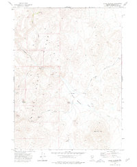
1972 · Paiute Meadows
USGS Topo · 1:24,000
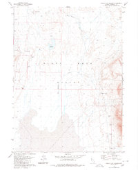
1979 · Double Hot Springs
USGS Topo · 1:24,000