
1972 Map of Pinto Mountain
USGS Topo · Published 1976About this map
The arid landscape of Humboldt County, Nevada, is defined here by the rise of Pinto Mountain and the sweeping reaches of the Black Rock Desert. In the early 1970s, this area remained largely remote, centered on essential water sources and mountain access. Geothermal activity is a prominent feature of the terrain, marked by Pinto Hot Springs and a smaller Spring (Hot) located near the upper reaches of Battle Creek. These features indicate the unique geological character of the region where the desert floor meets the rising peaks.
Find a feature on this map
8 named features on this map. Tap any name to fly to it.
Don’t see what you’re looking for? This feature index may not catch every label — zoom into the map to look around manually.
Map Details
Editions of this 1972 Pinto Mountain Map
This is the sole edition of this map. No revisions or reprints were ever made.
Other maps of this area

1886 · Disaster
USGS Topo · 1:250,000

1893 · Disaster
USGS Topo · 1:250,000

1954 · Vya
USGS Topo · 1:250,000

1958 · Vya
USGS Topo · 1:250,000

1962 · Vya
USGS Topo · 1:250,000

1966 · King Lear Peak
USGS Topo · 1:62,500

1972 · Burnt Springs
USGS Topo · 1:24,000

1972 · Leonard Cr. Slough North
USGS Topo · 1:24,000
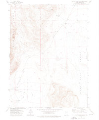
1972 · Battle Creek Ranch
USGS Topo · 1:24,000
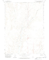
1972 · Leonard Cr. Slough South
USGS Topo · 1:24,000