2023 Map of Pie Town
USGS Topo · Published 2023About this map
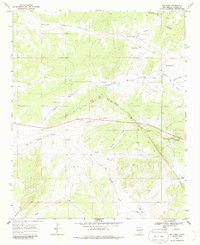
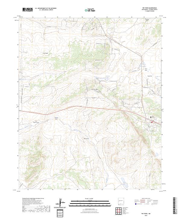
Pie Town serves as the central landmark in this high-altitude landscape of Catron County, where the Continental Divide National Scenic Trl winds through complex drainage patterns. The settlement of Top of the World sits near the divide, overlooking a network of ephemeral watercourses including Chavez Draw and Wyche Draw. This modern survey reflects the area's continued reliance on a mix of historic routes like Old Stage Rd and modern residential loops such as Sawtooth Views. To the east, the Juniper Haven Cem provides a focal point for genealogical interest, while the presence of named basins like Tres Lagunas and Santianez Lake indicates the crucial role of seasonal water in this arid environment. The transition from the open expanses of Tingle Flats to the concentrated drainage of San Ignacio Creek illustrates the topographical variety found along this section of the divide.
Find a feature on this map
53 named features on this map. Tap any name to fly to it.
Don’t see what you’re looking for? This feature index may not catch every label — zoom into the map to look around manually.
Map Details
Editions of this 2023 Pie Town Map
This is the sole edition of this map. No revisions or reprints were ever made.