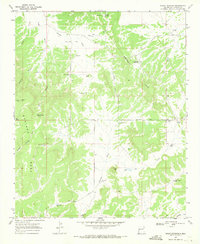
1967 Map of Pie Town
USGS Topo · Published 1986About this map
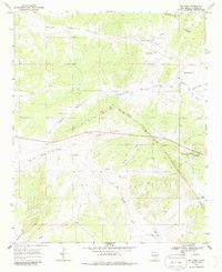
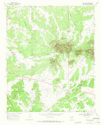
Pie Town sits along the high-elevation terrain of west-central New Mexico, a settlement famously positioned near the Continental Divide. This 1967 survey captures a landscape defined by ranching infrastructure and intermittent water sources, with numerous named wells such as Bobs Well and Wade Well scattered across the draws. The area is characterized by significant topographic features like the Top of the World ridge and the drainage systems of McAllister Draw and Tres Lagunas Draw.
Find a feature on this map
37 named features on this map. Tap any name to fly to it.
Don’t see what you’re looking for? This feature index may not catch every label — zoom into the map to look around manually.
Map Details
Editions of this 1967 Pie Town Map
2 editions found
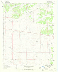
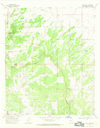
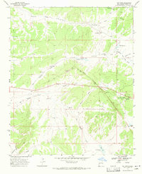
Other maps of this area

1954 · Saint Johns
USGS Topo · 1:250,000

1957 · Saint Johns
USGS Topo · 1:250,000

1958 · Saint Johns
USGS Topo · 1:250,000

1962 · Saint Johns
USGS Topo · 1:250,000
1967 · Omega
USGS Topo · 1:24,000
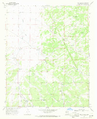
1967 · Tres Lagunas
USGS Topo · 1:24,000
1967 · Red Flats
USGS Topo · 1:24,000
1967 · Adams Diggings
USGS Topo · 1:24,000
1967 · Blue Hills
USGS Topo · 1:24,000
1967 · Pie Town
USGS Topo · 1:24,000