Old Maps of Pie Town, New Mexico
Explore 11 old maps of Pie Town, spanning from 1954 to today. These high-resolution historic maps reveal how streets, neighborhoods, landmarks, and natural features evolved over time — perfect for genealogy, metal detecting, research, and local history exploration.
What you can do with these maps:
- See how Pie Town changed over time: Compare historical maps to modern-day views to trace roads, homesites, rail lines & more.
- View detailed metadata: Each map includes creators, publishers, year, scale, and archive source.
- Overlay maps with satellite & LiDAR: Visualize the past alongside modern tools to explore terrain & human change.
- Trusted historical sources: Maps sourced from the USGS, Library of Congress, and other archives.
- Access maps your way: View online, download high-res files, or order prints for personal or research use.
Start exploring old maps of Pie Town to uncover forgotten places, hidden landmarks, and the deep history beneath your feet.
Pie Town, NM maps
(11)- 1954 Map of Saint Johns, 1968 Print
 1954 Saint Johns1968 Print · USGSThe high plateau of the Arizona-New Mexico border is captured here in the mid-1950s, showing the intersection of tribal lands and national forests. Researchers can trace the cattle country and mountain outposts from Saint Johns to Pie Town and McNary.3 unique versions available
 - 1957 Map of Saint Johns
 1957 Saint Johns1957 Print · USGSThe Arizona-New Mexico borderlands are captured here in the mid-fifties, showing the high-country settlements and federal lands before modern development. Genealogists and historians can trace old homesteads and landmarks like the Red Hill Post Office, Lyman Reservoir, and the mountain communities of Eagar and Springerville.
 - 1958 Map of Saint Johns
 1958 Saint Johns1958 Print · USGSEastern Arizona and western New Mexico appear here in the late fifties, showcasing the high plateau and forest landscapes along the Continental Divide. Researchers can trace early ranching routes and water systems like Lyman Reservoir or locate remote settlements such as Fence Lake and Atarque.2 unique versions available
 - 1962 Map of Saint Johns
 1962 Saint Johns1962 Print · USGSEastern Arizona and the New Mexico borderlands come alive in the early sixties, showing a landscape of high-plateau ranching and early national monuments. Trace the path of the Atchison Topeka and Santa Fe or locate old water sources like Salado Springs and Lyman Reservoir.
 - 1967 Map of Pie Town, 1971 Print
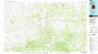
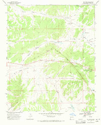 1967 Pie Town1971 Print · USGSHigh in the New Mexico backcountry during the late sixties, this area shows a landscape defined by ranching and the Continental Divide. Trace local history through family-named landmarks like McAllister Draw or the remote Nalda Ranch Landing Field.2 unique versions available
 - 1983 Map of Quemado
 1983 Quemado1983 Print · USGSCatron County ranching and forest lands are captured in the early eighties as the Continental Divide winds through these high-altitude mesas. Genealogists and local historians can trace the remote outposts of Pie Town and Red Hill or locate landmarks like Adams Diggings.2 unique versions available
 - 2010 Map of Pie Town, 2010 Print
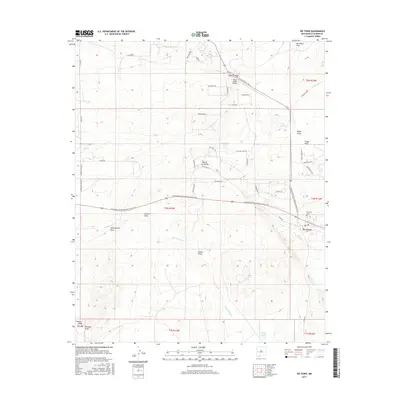
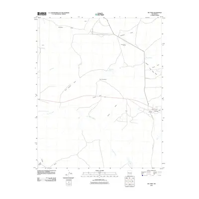 2010 Pie Town2010 Print · USGSCovers Pie Town, including Catron County, United States, and other nearby areas
 - 2013 Map of Pie Town, 2013 Print
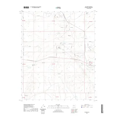
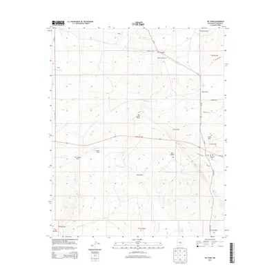 2013 Pie Town2013 Print · USGSCovers Pie Town, including Catron County, United States, and other nearby areas
 - 2017 Map of Pie Town, 2017 Print
 2017 Pie Town2017 Print · USGSCovers Pie Town, including Catron County, United States, and other nearby areas
 - 2020 Map of Pie Town, 2020 Print
 2020 Pie Town2020 Print · USGSCovers Pie Town, including Catron County, United States, and other nearby areas
 - 2023 Map of Pie Town, 2023 Print
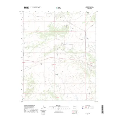 2023 Pie Town2023 Print · USGSPie Town and the high desert of Catron County are captured here during the 2020s as the modern trail system intersects with historic routes. Researchers can locate the Juniper Haven Cem and trace the paths of Old Stage Rd or the Continental Divide National Scenic Trl.
End of results
Showing maps 1-11 of 11
Top cities near Pie Town
Frequently asked questions
- What are the different types of historical maps available for Pie Town?
- What is the oldest map of Pie Town?
- Where can I purchase historical maps of Pie Town for my home or office?
- Where can I download high-res historical maps of Pie Town?
- Are there historical topographic maps available for Pie Town?
- Is there historical aerial imagery available for Pie Town?
- Where are historical maps of Pie Town sourced from?