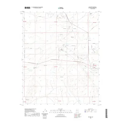
2020 Map of Pie Town
USGS Topo · Published 2020About this map
Pie Town sits atop the high-desert plateau of Catron County, a location defined by its proximity to the Continental Divide National Scenic Trail. This 2020 survey highlights a landscape carved by ephemeral watercourses such as Chavez Draw, Wyche Draw, and San Ignacio Cr, reflecting the drainage patterns of this arid divide. The settlement pattern is characterized by modern rural development, with clusters of residential loops like Pinewood Cir and Buckhorn Cir appearing alongside established landmarks like the Juniper Haven Cem.
Find a feature on this map
50 named features on this map. Tap any name to fly to it.
Don’t see what you’re looking for? This feature index may not catch every label — zoom into the map to look around manually.
Map Details
Editions of this 2020 Pie Town Map
This is the sole edition of this map. No revisions or reprints were ever made.
Other maps of this area

1954 · Saint Johns
USGS Topo · 1:250,000

1957 · Saint Johns
USGS Topo · 1:250,000

1958 · Saint Johns
USGS Topo · 1:250,000

1962 · Saint Johns
USGS Topo · 1:250,000
1967 · Omega
USGS Topo · 1:24,000
1967 · Tres Lagunas
USGS Topo · 1:24,000
1967 · Red Flats
USGS Topo · 1:24,000
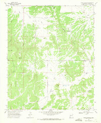
1967 · Adams Diggings
USGS Topo · 1:24,000
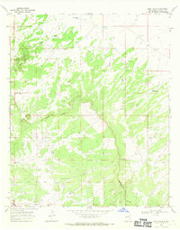
1967 · Blue Hills
USGS Topo · 1:24,000
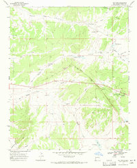
1967 · Pie Town
USGS Topo · 1:24,000