1967 Map of Pie Town
USGS Topo · Published 1971About this map
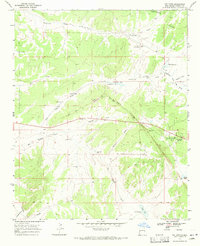
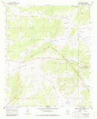
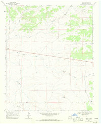
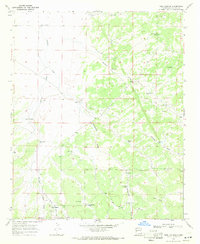
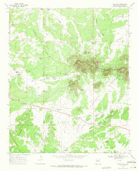
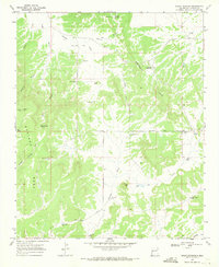
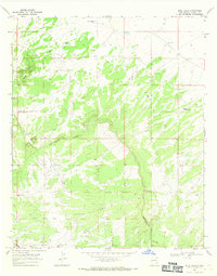
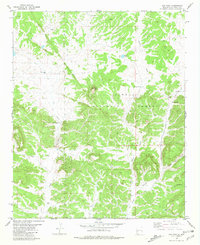
Pie Town serves as the focal point of this high-altitude landscape, situated along a prominent ridge in Catron County. The Continental Divide winds through the northeastern corner of the map, a geographic spine that dictates the drainage of numerous named features like McAllister Draw and Tres Lagunas Draw. The topography is defined by its ridge-and-canyon structure, including the playfully named Top of the World height. This 1960s-era survey captures a land of cattle ranching and scattered water resources, evidenced by the many cattle-support points like Bull Pasture Well and Seeps Well. Evidence of local aviation is present at the Nalda Ranch Landing Field, while the highway traveler is accommodated by a Roadside Park along the main east-west route through Chavez Draw.
Find a feature on this map
36 named features on this map. Tap any name to fly to it.
Don’t see what you’re looking for? This feature index may not catch every label — zoom into the map to look around manually.
Map Details
Editions of this 1967 Pie Town Map
2 editions found
Other maps of this area

1954 · Saint Johns
USGS Topo · 1:250,000

1957 · Saint Johns
USGS Topo · 1:250,000

1958 · Saint Johns
USGS Topo · 1:250,000

1962 · Saint Johns
USGS Topo · 1:250,000
1967 · Omega
USGS Topo · 1:24,000
1967 · Tres Lagunas
USGS Topo · 1:24,000
1967 · Red Flats
USGS Topo · 1:24,000
1967 · Adams Diggings
USGS Topo · 1:24,000
1967 · Blue Hills
USGS Topo · 1:24,000
1981 · Cox Peak
USGS Topo · 1:24,000