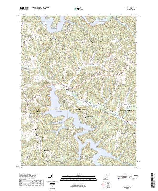
2023 Map of Piedmont
USGS Topo · Published 2023About this map
Clendening Lake and Piedmont Lake dominate the landscape in this region of eastern Ohio, where the borders of Harrison, Belmont, and Guernsey counties converge. The rugged topography is defined by narrow ridges and steep-sided valleys, with the sprawling reservoirs filling the lowlands created by Stillwater Creek and its tributaries. Small historic settlements such as Piedmont, Moorefield, and Holloway are situated along the higher ground, connected by a network of winding township and county roads.
Find a feature on this map
126 named features on this map. Tap any name to fly to it.
Don’t see what you’re looking for? This feature index may not catch every label — zoom into the map to look around manually.
Map Details
Editions of this 2023 Piedmont Map
This is the sole edition of this map. No revisions or reprints were ever made.
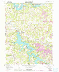
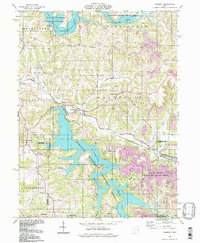
Historical Maps of Hilltop Cottage Area Through Time
3 maps found