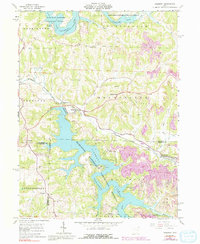
1961 Map of Piedmont
USGS Topo · Published 1992About this map
The Muskingum Watershed Conservancy District dominates this eastern Ohio landscape, where the waters of Piedmont Lake and Clendening Lake were established to manage the region’s drainage. The topography is defined by the winding course of Stillwater Creek and the heavy industry of the era, visible in numerous Strip Mines and reclaimed strip mines that dot the hills around Moorefield.
Find a feature on this map
45 named features on this map. Tap any name to fly to it.
Don’t see what you’re looking for? This feature index may not catch every label — zoom into the map to look around manually.
Map Details
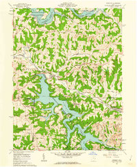
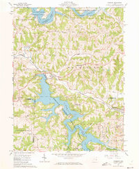
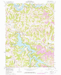
Editions of this 1961 Piedmont Map
4 editions found
Other maps of this area

1902 · Scio
USGS Topo · 1:62,500

1903 · Flushing
USGS Topo · 1:62,500

1904 · Scio
USGS Topo · 1:62,500

1905 · Flushing
USGS Topo · 1:62,500

1909 · Antrim
USGS Topo · 1:48,000

1909 · Uhrichsville
USGS Topo · 1:62,500

1911 · Antrim
USGS Topo · 1:62,500

1911 · Uhrichsville
USGS Topo · 1:62,500

1951 · Canton
USGS Topo · 1:250,000

1953 · Canton
USGS Topo · 1:250,000