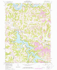
1961 Map of Piedmont
USGS Topo · Published 1978About this map
The Muskingum Watershed Conservancy District defines this eastern Ohio landscape, dominated by the reservoir waters of Piedmont Lake and Clendening Lake. This 1961 survey, with revisions noted in 1978, illustrates a region shaped by both water management and extractive industry. The Baltimore and Ohio railroad corridor follows the valley of Stillwater Creek, serving the village of Piedmont and passing the Gaging Station near the Piedmont Dam. To the east, the extensive presence of strip mines and reclaimed areas near Holloway and Moorefield reveals the intensity of local coal operations during the mid-20th century. Cultural landmarks such as Quaker Cem and Oakgrove offer specific points of interest for genealogists, while the numerous recreational sites like Camp Piedmont and the Boy Scout Camp highlight the area's shift toward conservation and public use.
Find a feature on this map
45 named features on this map. Tap any name to fly to it.
Don’t see what you’re looking for? This feature index may not catch every label — zoom into the map to look around manually.
Map Details
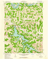
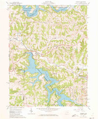
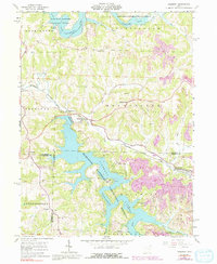
Editions of this 1961 Piedmont Map
4 editions found
Other maps of this area

1902 · Scio
USGS Topo · 1:62,500

1903 · Flushing
USGS Topo · 1:62,500

1904 · Scio
USGS Topo · 1:62,500

1905 · Flushing
USGS Topo · 1:62,500

1909 · Antrim
USGS Topo · 1:48,000

1909 · Uhrichsville
USGS Topo · 1:62,500

1911 · Antrim
USGS Topo · 1:62,500

1911 · Uhrichsville
USGS Topo · 1:62,500

1951 · Canton
USGS Topo · 1:250,000

1953 · Canton
USGS Topo · 1:250,000