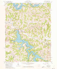
1961 Map of Piedmont
USGS Topo · Published 1973About this map
Piedmont Reservoir and Clendening Reservoir dominate this eastern Ohio landscape, illustrating the mid-century flood control and recreation infrastructure of the Muskingum Watershed Conservancy District. The rugged hills of Harrison, Guernsey, and Belmont counties are marked by the presence of strip mines in Moorefield and Flushing townships, highlighting the region's reliance on coal extraction. Transportation history is anchored by the Baltimore and Ohio railroad, which follows the winding path of Stillwater Creek through the village of Piedmont. Local heritage is preserved at sites like Quaker Cem near Londonderry and Stillwater Cem further south. The map also captures the social fabric of the era through youth camps, including the Boy Scout Camp on the northern reservoir and Camp Piedmont (4-H Camp) nestled along the wooded shoreline of the southern pool.
Find a feature on this map
40 named features on this map. Tap any name to fly to it.
Don’t see what you’re looking for? This feature index may not catch every label — zoom into the map to look around manually.
Map Details
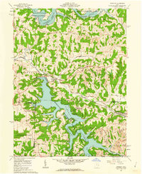
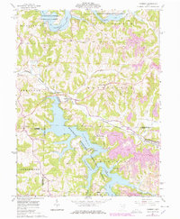
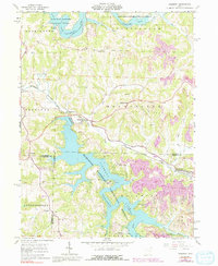
Editions of this 1961 Piedmont Map
4 editions found
Other maps of this area

1902 · Scio
USGS Topo · 1:62,500

1903 · Flushing
USGS Topo · 1:62,500

1904 · Scio
USGS Topo · 1:62,500

1905 · Flushing
USGS Topo · 1:62,500

1909 · Antrim
USGS Topo · 1:48,000

1909 · Uhrichsville
USGS Topo · 1:62,500

1911 · Antrim
USGS Topo · 1:62,500

1911 · Uhrichsville
USGS Topo · 1:62,500

1951 · Canton
USGS Topo · 1:250,000

1953 · Canton
USGS Topo · 1:250,000