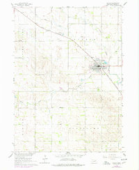
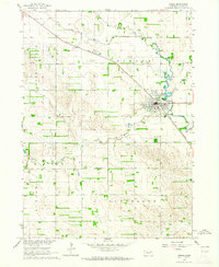
1963 Map of Pierce
USGS Topo · Published 1977About this map
Pierce serves as the focal point of this northeastern Nebraska landscape, situated at the confluence where Dry Creek and Willow Creek join the North Fork Elkhorn River. The town's layout is clearly defined, featuring Gilman Park and the local Fairground on its outskirts. The Chicago and North Western railroad cuts a diagonal path through the terrain, passing through the town and the expansive Clover Valley to the northwest.
Find a feature on this map
22 named features on this map. Tap any name to fly to it.
Don’t see what you’re looking for? This feature index may not catch every label — zoom into the map to look around manually.
Map Details
Editions of this 1963 Pierce Map
2 editions found
Other maps of this area

1955 · Sioux City
USGS Topo · 1:250,000

1958 · Sioux City
USGS Topo · 1:250,000

1959 · Sioux City
USGS Topo · 1:250,000

1963 · Pierce NW
USGS Topo · 1:24,000

1963 · Pierce SE
USGS Topo · 1:24,000

1963 · Foster
USGS Topo · 1:24,000

1963 · Meadow Grove
USGS Topo · 1:24,000

1963 · Norfolk
USGS Topo · 1:24,000

1963 · Osmond
USGS Topo · 1:24,000

1963 · Wee Town
USGS Topo · 1:24,000