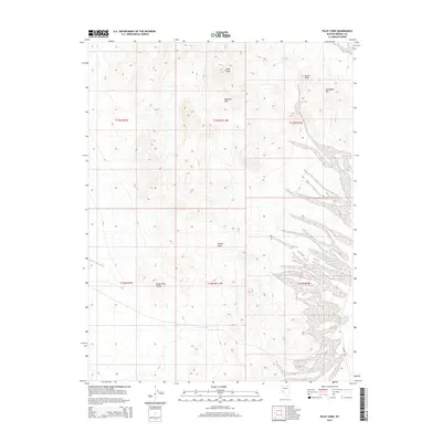
2015 Map of Pilot Cone
USGS Topo · Published 2015About this map
Pilot Cone stands as a prominent topographical anchor in this high-desert portion of Mineral County. This modern survey illustrates the intersection of several township and range boundaries including t13n r31.5e and t12n r31.5e, marking a landscape defined by volcanic geology and wide arid plains. The north is dominated by the Rawhide Hills and Basalt Peak, while the Koegel Hills rise to the south, overlooking the southern reaches of the Reese River Valley. The presence of Poleline Rd provides a singular corridor through the eastern desert flats, following the historic utility path. The map's contour lines trace the sharp relief of Gundaker Hill and the surrounding volcanic outcrops, capturing the stark geographic character of the western Great Basin.
Find a feature on this map
13 named features on this map. Tap any name to fly to it.
Don’t see what you’re looking for? This feature index may not catch every label — zoom into the map to look around manually.
Map Details
Editions of this 2015 Pilot Cone Map
This is the sole edition of this map. No revisions or reprints were ever made.
Other maps of this area

1908 · Carson Sink
USGS Topo · 1:250,000

1909 · Hawthorne
USGS Topo · 1:250,000

1910 · Carson Sink
USGS Topo · 1:250,000

1911 · Hawthorne
USGS Topo · 1:250,000

1915 · Hawthorne
USGS Topo · 1:250,000

1948 · Walker Lake
USGS Topo · 1:250,000

1951 · Allen Springs
USGS Topo · 1:62,500

1957 · Walker Lake
USGS Topo · 1:250,000

1957 · Reno
USGS Topo · 1:250,000

1959 · Reno
USGS Topo · 1:250,000