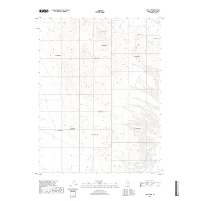
2018 Map of Pilot Cone
USGS Topo · Published 2018About this map
Pilot Cone stands as a prominent landmark in this high-desert region of Mineral County, overseeing a landscape defined by volcanic landforms and expansive drainage basins. The eastern edge of the quadrangle is dominated by the Rawhide Hills, which rise above the surrounding terrain near Basalt Peak and Gundaker Hill. These elevations give way to the lower reaches of the Koegel Hills to the south, framing the eastern approach to the Reese River Valley. The grid of township and range lines, such as t13n r31e, illustrates the systematic Bureau of Land Management surveying of these remote Nevada lands, where the natural topography dictates the few corridors available for travel and potential mining activity.
Find a feature on this map
12 named features on this map. Tap any name to fly to it.
Don’t see what you’re looking for? This feature index may not catch every label — zoom into the map to look around manually.
Map Details
Editions of this 2018 Pilot Cone Map
This is the sole edition of this map. No revisions or reprints were ever made.
Other maps of this area

1908 · Carson Sink
USGS Topo · 1:250,000

1909 · Hawthorne
USGS Topo · 1:250,000

1910 · Carson Sink
USGS Topo · 1:250,000

1911 · Hawthorne
USGS Topo · 1:250,000

1915 · Hawthorne
USGS Topo · 1:250,000

1948 · Walker Lake
USGS Topo · 1:250,000

1951 · Allen Springs
USGS Topo · 1:62,500

1957 · Walker Lake
USGS Topo · 1:250,000

1957 · Reno
USGS Topo · 1:250,000

1959 · Reno
USGS Topo · 1:250,000