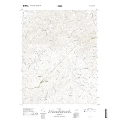
2019 Map of Pilot
USGS Topo · Published 2019About this map
Pilot Mtn and the winding course of the South Fork Roanoke River anchor this 2019 view of the high-elevation border between Montgomery and Floyd counties. The landscape is defined by its ridge-and-hollow topography, where small settlements like Pilot, Basham, and Huffville follow the winding paths of rural routes like State Rte 677 and Old Pike Rd. Local history is centered around quiet landmarks such as Oak Grove Cem and named high points like Kingery Hill and Epperly Knob. This modern survey reveals a persistent rural settlement pattern where family and place names are etched into the terrain, from Panther Hollow to the headwaters of Goose Cr and Terrys Cr. The map provides an essential reference for understanding the modern footprint of these upland communities and their relationship to the complex watershed of the southern Blue Ridge.
Find a feature on this map
103 named features on this map. Tap any name to fly to it.
Don’t see what you’re looking for? This feature index may not catch every label — zoom into the map to look around manually.
Map Details
Editions of this 2019 Pilot Map
This is the sole edition of this map. No revisions or reprints were ever made.
Other maps of this area

1890 · Christiansburg
USGS Topo · 1:125,000

1932 · Blacksburg
USGS Topo · 1:48,000

1937 · Blacksburg
USGS Topo · 1:62,500

1950 · Elliston
USGS Topo · 1:62,500

1953 · Winston-Salem
USGS Topo · 1:250,000

1955 · Bluefield
USGS Topo · 1:250,000

1955 · Winston-Salem
USGS Topo · 1:250,000

1957 · Endicott
USGS Topo · 1:62,500

1957 · Floyd
USGS Topo · 1:62,500

1957 · Bluefield
USGS Topo · 1:250,000