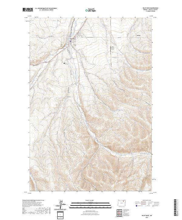
2023 Map of Pilot Rock
USGS Topo · Published 2023About this map
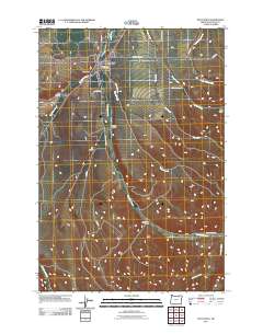
Pilot Rock serves as the focal point of this Eastern Oregon landscape, where the confluence of several watercourses defines the local topography. The town is situated where Birch Creek meets West Birch Creek and East Birch Creek, creating a natural nexus for early settlement and ranching. The presence of the Pilot Rock Cem and various local routes like Cemetary Rd and Stock Drive Rd suggests a community deeply rooted in its agricultural and pastoral surroundings. To the south and east, the terrain rises toward Rocky Ridge, bisected by numerous drainages including Wegner Creek and Ray Creek. The inclusion of the Rugg Ranches Airport highlights the continued importance of large-scale landholdings in Umatilla County, while the surrounding gulches and hollows, such as California Gulch and Dry Hollow, illustrate the intricate drainage patterns of the Blue Mountain foothills.
Find a feature on this map
40 named features on this map. Tap any name to fly to it.
Don’t see what you’re looking for? This feature index may not catch every label — zoom into the map to look around manually.
Map Details
Editions of this 2023 Pilot Rock Map
This is the sole edition of this map. No revisions or reprints were ever made.
Historical Maps of Umatilla County Through Time
6 maps found