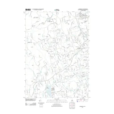
2012 Map of Pinardville
USGS Topo · Published 2012About this map
North Uncanoonuc Mountain and South Mountain dominate the northwestern horizon of this Hillsborough County landscape, overlooking the clustered community of Mountain Base and the waters of Uncanoonuc Lake. The area demonstrates the residential expansion surrounding Manchester in the early 21st century, with dense road networks weaving through high ground like Shirley Hill and Benson Hill. To the east, Saint Anselm College serves as a major institutional anchor near the village of Pinardville.
Find a feature on this map
304 named features on this map. Tap any name to fly to it.
Don’t see what you’re looking for? This feature index may not catch every label — zoom into the map to look around manually.
Map Details
Editions of this 2012 Pinardville Map
This is the sole edition of this map. No revisions or reprints were ever made.
Other maps of this area

1905 · Manchester
USGS Topo · 1:62,500

1906 · Milford
USGS Topo · 1:62,500

1921 · Suncook
USGS Topo · 1:62,500

1927 · Concord
USGS Topo · 1:62,500

1941 · Manchester
USGS Topo · 1:62,500

1943 · Lowell
USGS Topo · 1:125,000

1943 · Fitchburg
USGS Topo · 1:125,000

1944 · Suncook
USGS Topo · 1:62,500

1948 · Boston
USGS Topo · 1:250,000

1949 · Portland
USGS Topo · 1:250,000