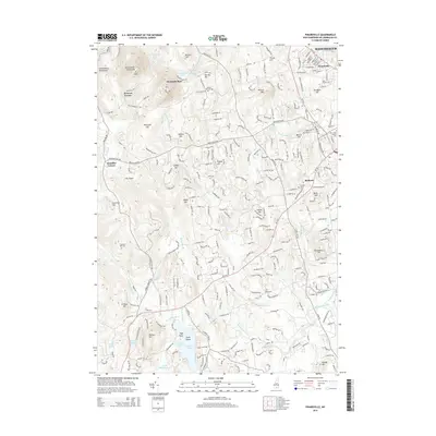
2015 Map of Pinardville
USGS Topo · Published 2015About this map
The Uncanoonuc Mountains dominate the northwestern landscape of this region, providing a high-relief backdrop to the evolving suburban and rural patterns west of Manchester. Near the base of these peaks, the settlement of Mountain Base and nearby Browns Corner suggest the long-standing recreational and residential draw of the highlands. To the east, the village of Pinardville and the campus of Saint Anselm College mark the transition toward the more densely settled urban edge.
Find a feature on this map
55 named features on this map. Tap any name to fly to it.
Don’t see what you’re looking for? This feature index may not catch every label — zoom into the map to look around manually.
Map Details
Editions of this 2015 Pinardville Map
This is the sole edition of this map. No revisions or reprints were ever made.
Other maps of this area

1905 · Manchester
USGS Topo · 1:62,500

1906 · Milford
USGS Topo · 1:62,500

1921 · Suncook
USGS Topo · 1:62,500

1927 · Concord
USGS Topo · 1:62,500

1941 · Manchester
USGS Topo · 1:62,500

1943 · Lowell
USGS Topo · 1:125,000

1943 · Fitchburg
USGS Topo · 1:125,000

1944 · Suncook
USGS Topo · 1:62,500

1948 · Boston
USGS Topo · 1:250,000

1949 · Portland
USGS Topo · 1:250,000