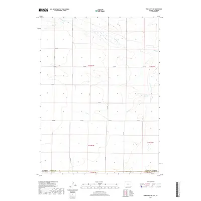
2017 Map of Pine Bluffs SW
USGS Topo · Published 2017About this map
Gardner Reservoir sits as a primary landmark in this rural landscape where the High Plains of Colorado meet the Wyoming border. The terrain is defined by the ephemeral drainage patterns of Muddy Cr and Spring Cr, which carve shallow paths through the wide-open sections of Weld County. This 2017 survey reveals a highly organized township and range grid, where gravel routes like Bauman Rd and Co Rd 158 provide essential access to the vast agricultural and ranching tracts. The map illustrates the sparse but deliberate human footprint in the region, centered on water management and the maintenance of a rigorous county road network that spans across the state line into Laramie County, Wyoming.
Find a feature on this map
21 named features on this map. Tap any name to fly to it.
Don’t see what you’re looking for? This feature index may not catch every label — zoom into the map to look around manually.
Map Details
Editions of this 2017 Pine Bluffs SW Map
This is the sole edition of this map. No revisions or reprints were ever made.
Other maps of this area

1954 · Cheyenne
USGS Topo · 1:250,000

1954 · Greeley
USGS Topo · 1:250,000

1957 · Greeley
USGS Topo · 1:250,000

1958 · Cheyenne
USGS Topo · 1:250,000

1958 · Greeley
USGS Topo · 1:250,000

1961 · Greeley
USGS Topo · 1:250,000

1963 · Pine Bluffs
USGS Topo · 1:24,000

1963 · Burns
USGS Topo · 1:24,000

1963 · Pine Bluffs SE
USGS Topo · 1:24,000

1963 · Carpenter
USGS Topo · 1:24,000