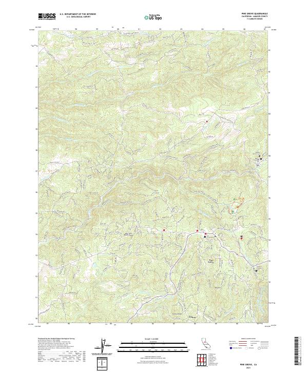
2021 Map of Pine Grove
USGS Topo · Published 2021About this map
Pine Grove and the surrounding foothills of Amador County are defined by a complex network of water management systems and early mining operations. The landscape is crisscrossed by several historic water conduits, including the Amador Canal, Aqueduct City Canal, Upper Standard Canal, and the Volcano Ditch. These features point to the region's long history of diverting water to support hydraulic mining and later agricultural needs. Settlement patterns are focused along the lower elevations, where the community of Clinton sits near Clinton Peak and the Irish Town Mine. Local history is deeply etched into the land through several burial grounds, such as the Volcano Catholic Cem and Volcano Protestant Cem to the east, and the Pine Grove Cem near the center of the sheet. The terrain transitions from the seasonal drainages of N Fork Dry Cr and Deadman Fork to prominent rises like Mt Zion, illustrating the varied topography of the Sierra Nevada foothills.
Find a feature on this map
159 named features on this map. Tap any name to fly to it.
Don’t see what you’re looking for? This feature index may not catch every label — zoom into the map to look around manually.
Map Details
Editions of this 2021 Pine Grove Map
This is the sole edition of this map. No revisions or reprints were ever made.
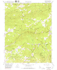
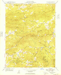
Historical Maps of Volcano Through Time
3 maps found