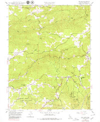
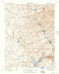
1948 Map of Pine Grove
USGS Topo · Published 1979About this map
Pine Grove and the surrounding Sierra Nevada foothills are captured in this mid-century survey, showcasing a landscape defined by gold-era water infrastructure and ranching. The Amador Canal winds through the southern terrain, a vital artery for the region's development, while the Jackson Indian Rancheria sits near New York Ranch Gulch. Settlement patterns are concentrated at historic hubs like Volcano and Clinton, with rural life anchored by the New York Ranch School and family operations like Helbing Ranch and Oneto Ranch.
Find a feature on this map
27 named features on this map. Tap any name to fly to it.
Don’t see what you’re looking for? This feature index may not catch every label — zoom into the map to look around manually.
Map Details
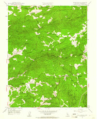
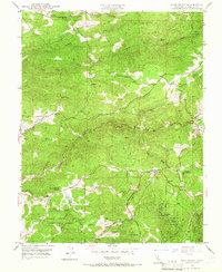
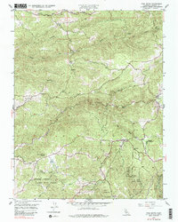
Editions of this 1948 Pine Grove Map
4 editions found
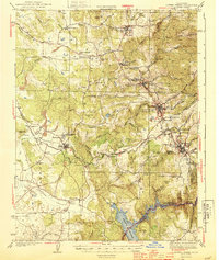
Other maps of this area

1889 · Jackson
USGS Topo · 1:125,000

1891 · Placerville
USGS Topo · 1:125,000

1892 · Jackson
USGS Topo · 1:125,000

1892 · Placerville
USGS Topo · 1:125,000

1893 · Placerville
USGS Topo · 1:125,000

1897 · Jackson
USGS Topo · 1:125,000

1902 · Jackson
USGS Topo · 1:125,000
1941 · Sutter Creek
USGS Topo · 1:62,500
1944 · Sutter Creek
USGS Topo · 1:62,500

1947 · Sacramento
USGS Topo · 1:250,000