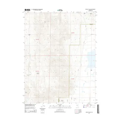
2014 Map of Pine Nut Valley
USGS Topo · Published 2014About this map
Spring Gulch descends from the high ridges of the Pine Nut Mountains in this modern topographic study of eastern Douglas and western Lyon counties. The terrain is characterized by steep, undeveloped drainage systems where seasonal flows like Otts Cr carve through the high-elevation basin. This map highlights the intersection of public land survey systems and county boundaries in a landscape largely defined by its natural hydrology and high-desert relief. The lack of named settlements emphasizes the area's role as a buffer between the fertile valley bottoms and the surrounding mountain ranges, preserving the original watercourses and geographical landmarks used by early surveyors.
Find a feature on this map
2 named features on this map. Tap any name to fly to it.
Don’t see what you’re looking for? This feature index may not catch every label — zoom into the map to look around manually.
Map Details
Editions of this 2014 Pine Nut Valley Map
This is the sole edition of this map. No revisions or reprints were ever made.
Other maps of this area

1889 · Markleeville
USGS Topo · 1:125,000

1891 · Carson
USGS Topo · 1:125,000

1891 · Markleeville
USGS Topo · 1:125,000

1891 · Wabuska
USGS Topo · 1:125,000

1891 · Wellington
USGS Topo · 1:125,000

1893 · Carson
USGS Topo · 1:125,000

1893 · Markleeville
USGS Topo · 1:125,000

1893 · Wellington
USGS Topo · 1:125,000

1894 · Wabuska
USGS Topo · 1:125,000

1948 · Walker Lake
USGS Topo · 1:250,000