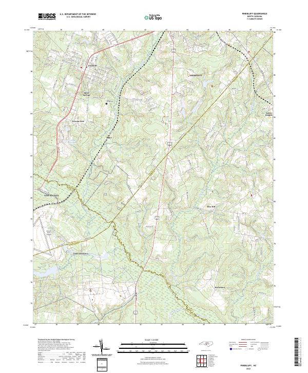
2022 Map of Pinebluff
USGS Topo · Published 2022About this map
Pinebluff and the surrounding Sandhills region are defined by a complex network of county boundaries where Moore, Richmond, Hoke, and Scotland counties converge. This 2022 survey captures a landscape of residential growth and established military presence, anchored by the Mackall Army Airfield in the southwest and the edge of Fort Bragg to the northeast. Small-scale residential pockets like Lincoln Park, Silver Springs, and Addor are interspersed among the drainages of Drowning Cr and Aberdeen Cr.
Find a feature on this map
125 named features on this map. Tap any name to fly to it.
Don’t see what you’re looking for? This feature index may not catch every label — zoom into the map to look around manually.
Map Details
Editions of this 2022 Pinebluff Map
This is the sole edition of this map. No revisions or reprints were ever made.
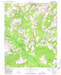
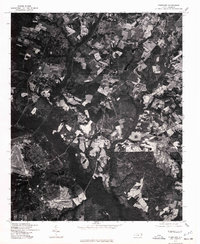
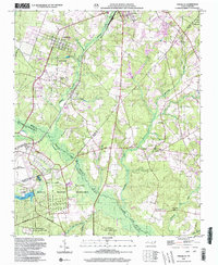
Historical Maps of Addor Through Time
4 maps found