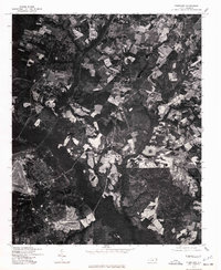
1976 Map of Pinebluff
USGS Topo · Published 1978About this map
Aberdeen is the primary point of reference in this mid-1970s orthophotoquad, which captures the transition between dense woodland and agricultural clearings in Moore County. Unlike traditional topographic maps, this aerial imagery provides a direct look at the parcel patterns, road alignments, and land use as they existed during a period of steady development in North Carolina's Sandhills. The grain of the photograph reveals the intricate network of residential streets and the surrounding patchwork of tilled fields and pine forests, offering a unique visual record of the landscape's texture before modern suburban expansion significantly altered the rural-urban interface near the town center.
Find a feature on this map
1 named feature on this map. Tap any name to fly to it.
Don’t see what you’re looking for? This feature index may not catch every label — zoom into the map to look around manually.
Map Details
Editions of this 1976 Pinebluff Map
This is the sole edition of this map. No revisions or reprints were ever made.
Other maps of this area

1942 · Troy
USGS Topo · 1:125,000

1942 · Rockingham
USGS Topo · 1:125,000

1948 · Southern Pines
USGS Topo · 1:62,500

1948 · Pinebluff
USGS Topo · 1:24,000

1948 · Mc Cain
USGS Topo · 1:24,000

1949 · Wagram
USGS Topo · 1:24,000

1949 · Silver Hill
USGS Topo · 1:24,000

1949 · West End
USGS Topo · 1:24,000

1949 · Hoffman
USGS Topo · 1:24,000

1949 · Marston
USGS Topo · 1:24,000