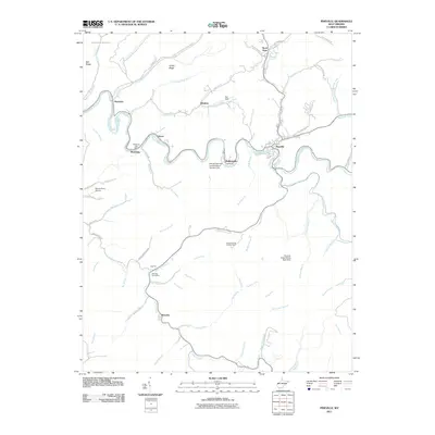
2011 Map of Pineville
USGS Topo · Published 2011About this map
The Guyandotte River carves a winding path through this Wyoming County landscape, anchoring a string of small settlements including Glover, Mullensville, and the community of Pineville. Industrial activity is evident in the northern reaches at Shane Coal and through significant infrastructure such as Refuse Dam and Impoundment Number One and the Pinnacle Creek Refuse Bank Dam. These features suggest a landscape deeply shaped by the region's coal economy and the management of its byproducts.
Find a feature on this map
73 named features on this map. Tap any name to fly to it.
Don’t see what you’re looking for? This feature index may not catch every label — zoom into the map to look around manually.
Map Details
Editions of this 2011 Pineville Map
This is the sole edition of this map. No revisions or reprints were ever made.
Other maps of this area

1887 · Pocahontas
USGS Topo · 1:125,000

1891 · Tazewell
USGS Topo · 1:125,000

1891 · Pocahontas
USGS Topo · 1:125,000

1891 · Oceana
USGS Topo · 1:125,000

1891 · Raleigh
USGS Topo · 1:125,000

1893 · Oceana
USGS Topo · 1:125,000

1894 · Pocahontas
USGS Topo · 1:125,000

1895 · Tazewell
USGS Topo · 1:125,000

1895 · Pocahontas
USGS Topo · 1:125,000

1897 · Tazewell
USGS Topo · 1:125,000