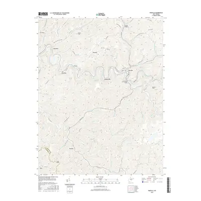
2016 Map of Pineville
USGS Topo · Published 2016About this map
The Guyandotte River carves a winding path through the center of this Wyoming County landscape, dictating the settlement patterns of towns like Pineville and Mullensville. In this river-defined geography, transportation and industry are confined to the narrow valleys, with the Lt. James L Smith Memorial Bridge providing a key crossing point near the confluence of major branches. The map details the transition from established communities to industrial sites like Kee Field, situated between Turkey Ridge and the river bends.
Find a feature on this map
87 named features on this map. Tap any name to fly to it.
Don’t see what you’re looking for? This feature index may not catch every label — zoom into the map to look around manually.
Map Details
Editions of this 2016 Pineville Map
This is the sole edition of this map. No revisions or reprints were ever made.
Other maps of this area

1887 · Pocahontas
USGS Topo · 1:125,000

1891 · Tazewell
USGS Topo · 1:125,000

1891 · Pocahontas
USGS Topo · 1:125,000

1891 · Oceana
USGS Topo · 1:125,000

1891 · Raleigh
USGS Topo · 1:125,000

1893 · Oceana
USGS Topo · 1:125,000

1894 · Pocahontas
USGS Topo · 1:125,000

1895 · Tazewell
USGS Topo · 1:125,000

1895 · Pocahontas
USGS Topo · 1:125,000

1897 · Tazewell
USGS Topo · 1:125,000