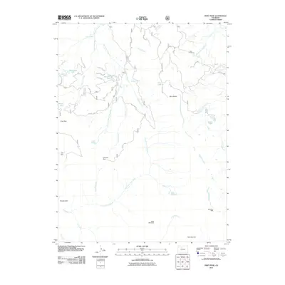
2011 Map of Piney Peak
USGS Topo · Published 2011About this map
Piney Peak rises over a complex drainage basin in Eagle County, where the high ridges of the Gore Range overlook a network of creek systems including Sheephorn Creek and the North Fork Piney River. The landscape is defined by its numerous high-elevation water bodies, such as the clustered Lone Lick Lakes, Beaver Dam Lake, and Slough Grass Lake. These features, along with names like Big Park and Rhoads Gulch, point to a history of land use focused on timber, grazing, and traditional mountain transit long before modern recreation dominated the area.
Find a feature on this map
39 named features on this map. Tap any name to fly to it.
Don’t see what you’re looking for? This feature index may not catch every label — zoom into the map to look around manually.
Map Details
Editions of this 2011 Piney Peak Map
This is the sole edition of this map. No revisions or reprints were ever made.
Other maps of this area

1933 · Mt. Powell
USGS Topo · 1:48,000

1934 · Minturn
USGS Topo · 1:62,500

1940 · Mount Powell
USGS Topo · 1:62,500

1950 · Minturn
USGS Topo · 1:62,500

1957 · Leadville
USGS Topo · 1:250,000

1959 · Leadville
USGS Topo · 1:250,000

1960 · Leadville
USGS Topo · 1:250,000

1962 · Leadville
USGS Topo · 1:250,000

1962 · Edwards
USGS Topo · 1:24,000

1964 · Leadville
USGS Topo · 1:250,000