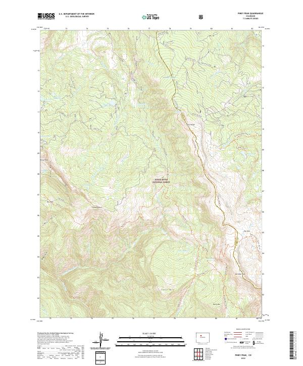
2022 Map of Piney Peak
USGS Topo · Published 2022About this map
White River National Forest defines this high-elevation landscape along the boundary of Eagle and Summit counties. The terrain is marked by distinctive geological formations like Chimney Rock and the high summits of Sheephorn Mtn and Meridian Peak. This area is dominated by the complex hydrology of the Gore Range, where numerous high-country water sources such as Soda Lakes, Slough Grass Lake, and Mahan Lake feed the drainages of Piney River and Sheephorn Cr.
Find a feature on this map
61 named features on this map. Tap any name to fly to it.
Don’t see what you’re looking for? This feature index may not catch every label — zoom into the map to look around manually.
Map Details
Editions of this 2022 Piney Peak Map
This is the sole edition of this map. No revisions or reprints were ever made.
Other maps of this area

1933 · Mt. Powell
USGS Topo · 1:48,000

1934 · Minturn
USGS Topo · 1:62,500

1940 · Mount Powell
USGS Topo · 1:62,500

1950 · Minturn
USGS Topo · 1:62,500

1957 · Leadville
USGS Topo · 1:250,000

1959 · Leadville
USGS Topo · 1:250,000

1960 · Leadville
USGS Topo · 1:250,000

1962 · Leadville
USGS Topo · 1:250,000

1962 · Edwards
USGS Topo · 1:24,000

1964 · Leadville
USGS Topo · 1:250,000