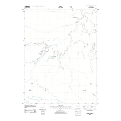
2011 Map of Pingree Park
USGS Topo · Published 2011About this map
Colorado State University and several established high-country outposts define the character of this northern Colorado landscape. The South Fork Cache la Poudre River flows through the central terrain, bordered by historic family properties like Koenig Ranch, Sky Ranch, and Lazy D Ranch. This map provides a detailed view of the infrastructure supporting outdoor research and recreation, from the Pingree Park Cemetery to the various managed campsites such as Fish Creek Campground and Tom Bennett Campground.
Find a feature on this map
46 named features on this map. Tap any name to fly to it.
Don’t see what you’re looking for? This feature index may not catch every label — zoom into the map to look around manually.
Map Details
Editions of this 2011 Pingree Park Map
This is the sole edition of this map. No revisions or reprints were ever made.
Other maps of this area

1905 · Mount Olympus
USGS Topo · 1:62,500

1907 · Mount Olympus
USGS Topo · 1:62,500

1907 · Livermore
USGS Topo · 1:125,000

1909 · Livermore
USGS Topo · 1:125,000

1915 · Longs Peak
USGS Topo · 1:125,000

1916 · Home
USGS Topo · 1:125,000

1919 · Rocky Mountain National Park
USGS Topo · 1:125,000

1920 · Home
USGS Topo · 1:125,000

1954 · Greeley
USGS Topo · 1:250,000

1957 · Greeley
USGS Topo · 1:250,000