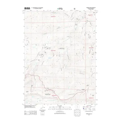
2013 Map of Pingree Park
USGS Topo · Published 2013About this map
Pingree Park serves as a central point of human settlement within this 2013 survey of the high-altitude interface between Roosevelt National Forest and Rocky Mountain National Park. The landscape is defined by its recreation and ranching heritage, with private holdings like Sky Ranch, Lazy D Ranch, and Koenig Ranch interspersed among federal lands. This period shows a well-developed network of backcountry access points, including the Beaver Trailhead and Stormy Peaks Trailhead, which lead into the high country toward Stormy Peaks and Ramsey Peak. The hydrologic importance of the area is evident in the headwaters of the South Fork Cache la Poudre River and the North Fork Big Thompson River, alongside the Pennock Cr Reservoir and the Pingree Park Cem, documenting the long-standing community footprint in these Larimer County mountains.
Find a feature on this map
64 named features on this map. Tap any name to fly to it.
Don’t see what you’re looking for? This feature index may not catch every label — zoom into the map to look around manually.
Map Details
Editions of this 2013 Pingree Park Map
This is the sole edition of this map. No revisions or reprints were ever made.
Other maps of this area

1905 · Mount Olympus
USGS Topo · 1:62,500

1907 · Mount Olympus
USGS Topo · 1:62,500

1907 · Livermore
USGS Topo · 1:125,000

1909 · Livermore
USGS Topo · 1:125,000

1915 · Longs Peak
USGS Topo · 1:125,000

1916 · Home
USGS Topo · 1:125,000

1919 · Rocky Mountain National Park
USGS Topo · 1:125,000

1920 · Home
USGS Topo · 1:125,000

1954 · Greeley
USGS Topo · 1:250,000

1957 · Greeley
USGS Topo · 1:250,000