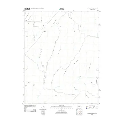
2010 Map of Pinkerton Mesa
USGS Topo · Published 2010About this map
The high plateau of Pinkerton Mesa and its surrounding canyons define this 2010 survey along the border of New Mexico and Colorado. The settlement of Marvel sits in the northwest corner, serving as a rare point of habitation in a landscape heavily marked by mid-century and modern mining operations. A cluster of resource extraction sites, including the Farmers Mine, Fort Lewis Mine, and the Mormon Mine, suggests a long history of coal or mineral interest in the region's sedimentary layers.
Find a feature on this map
46 named features on this map. Tap any name to fly to it.
Don’t see what you’re looking for? This feature index may not catch every label — zoom into the map to look around manually.
Map Details
Editions of this 2010 Pinkerton Mesa Map
This is the sole edition of this map. No revisions or reprints were ever made.
Other maps of this area

1889 · Largo
USGS Topo · 1:250,000

1889 · Chaco
USGS Topo · 1:250,000

1892 · Chaco
USGS Topo · 1:250,000

1895 · Largo
USGS Topo · 1:250,000

1908 · Ignacio
USGS Topo · 1:125,000

1913 · Red Mesa
USGS Topo · 1:62,500

1924 · Ignacio
USGS Topo · 1:125,000

1945 · Durango
USGS Topo · 1:250,000

1953 · Durango
USGS Topo · 1:250,000

1954 · Durango
USGS Topo · 1:250,000