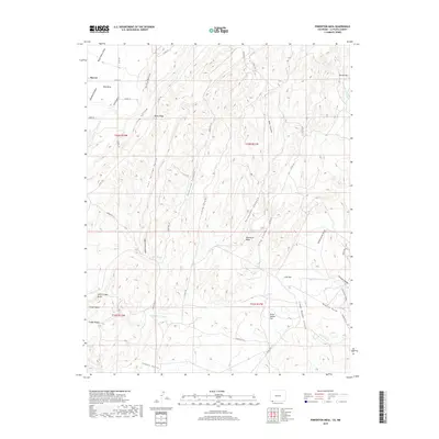
2019 Map of Pinkerton Mesa
USGS Topo · Published 2019About this map
Marvel sits at the northwestern edge of a landscape defined by high mesas and deep drainage systems. The terrain transitions from the broad expanse of Red Mesa and Rocky Ridge in the north to a complex network of canyons and flats toward the south. The drainage pattern is particularly evident through Long Hollow, Valencia Canyon, and Fortyfour Canyon, which feed toward the McDermott Arroyo. This arid environment is marked by distinctive geological features like the North Cinder Butte and the volcanic-named Cinder Bluffs, contrasting with the more level grazing areas of Cow Flat and Orrie Walker Flat. Human activity is recorded primarily through a series of county roads and tribal routes, including Indian Rte 111, which navigate the mesas. Natural water sources are few, with Soda Springs providing a rare named point of interest in Soda Springs Canyon.
Find a feature on this map
46 named features on this map. Tap any name to fly to it.
Don’t see what you’re looking for? This feature index may not catch every label — zoom into the map to look around manually.
Map Details
Editions of this 2019 Pinkerton Mesa Map
This is the sole edition of this map. No revisions or reprints were ever made.
Other maps of this area

1889 · Largo
USGS Topo · 1:250,000

1889 · Chaco
USGS Topo · 1:250,000

1892 · Chaco
USGS Topo · 1:250,000

1895 · Largo
USGS Topo · 1:250,000

1908 · Ignacio
USGS Topo · 1:125,000

1913 · Red Mesa
USGS Topo · 1:62,500

1924 · Ignacio
USGS Topo · 1:125,000

1945 · Durango
USGS Topo · 1:250,000

1953 · Durango
USGS Topo · 1:250,000

1954 · Durango
USGS Topo · 1:250,000