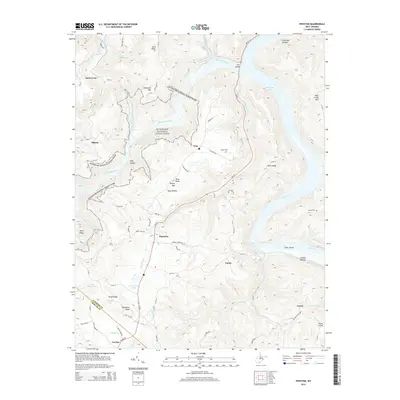
2014 Map of Pipestem
USGS Topo · Published 2014About this map
The Bluestone National Scenic River corridor dominates the topography of this West Virginia study, cutting a deep valley through the high ridges of the Allegheny Plateau. The map reveals a landscape defined by dramatic relief, where the Bluestone River and its tributaries, such as Suck Creek and Pipestem Creek, have carved out steep hollows including Tony Hollow and Fourmile Hollow. Settlement is primarily concentrated along the flatter ridge-tops or near the river bends, as seen in the small communities of Pipestem, True, and Ellison.
Find a feature on this map
49 named features on this map. Tap any name to fly to it.
Don’t see what you’re looking for? This feature index may not catch every label — zoom into the map to look around manually.
Map Details
Editions of this 2014 Pipestem Map
This is the sole edition of this map. No revisions or reprints were ever made.
Other maps of this area

1887 · Pocahontas
USGS Topo · 1:125,000

1887 · Hinton
USGS Topo · 1:125,000

1890 · Dublin
USGS Topo · 1:125,000

1891 · Pocahontas
USGS Topo · 1:125,000

1891 · Dublin
USGS Topo · 1:125,000

1891 · Raleigh
USGS Topo · 1:125,000

1892 · Hinton
USGS Topo · 1:125,000

1894 · Pocahontas
USGS Topo · 1:125,000

1895 · Pocahontas
USGS Topo · 1:125,000

1897 · Raleigh
USGS Topo · 1:125,000