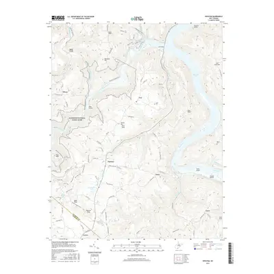
2016 Map of Pipestem
USGS Topo · Published 2016About this map
The Bluestone National Scenic River corridor dominates this mountain landscape, carving through deep ridges like Bluestone Mtn and Pilot Ridge. The convergence of the Bluestone River and the New River creates a dynamic waterscape that includes Bluestone Lake and the broad flats of Crumps Bottom. Transportation through this steep terrain is defined by a network of recreational paths and historic routes, including the Bluestone Turnpike Trail and the River View Trail.
Find a feature on this map
95 named features on this map. Tap any name to fly to it.
Don’t see what you’re looking for? This feature index may not catch every label — zoom into the map to look around manually.
Map Details
Editions of this 2016 Pipestem Map
This is the sole edition of this map. No revisions or reprints were ever made.
Other maps of this area

1887 · Pocahontas
USGS Topo · 1:125,000

1887 · Hinton
USGS Topo · 1:125,000

1890 · Dublin
USGS Topo · 1:125,000

1891 · Pocahontas
USGS Topo · 1:125,000

1891 · Dublin
USGS Topo · 1:125,000

1891 · Raleigh
USGS Topo · 1:125,000

1892 · Hinton
USGS Topo · 1:125,000

1894 · Pocahontas
USGS Topo · 1:125,000

1895 · Pocahontas
USGS Topo · 1:125,000

1897 · Raleigh
USGS Topo · 1:125,000