
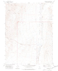
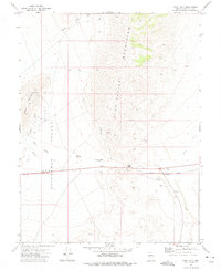
1972 Map of Pirouette Mtn
USGS Topo · Published 1975About this map
Dixie Valley (Depression) dominates this corner of the Great Basin, where the stark topography of the Nevada desert is recorded with precision in the early 1970s. The landscape is defined by the sharp descent from Pirouette Mtn toward the alkali flats, with ephemeral drainage systems like Elevenmile Wash and Dixie Valley Wash cutting through the arid terrain. Human activity is sparse and focused on the survival and extraction common to the region's history. A solitary Elevenmile Well and a Corral provide evidence of rangeland use, while various Prospects and a singular Prospect near Red Top Gulch indicate the localized mineral exploration that once drew miners to these remote ranges. In the northwest, Cain Spring offers a rare water source among the high ridges of Cain Canyon and Slaughter Canyon.
Find a feature on this map
13 named features on this map. Tap any name to fly to it.
Don’t see what you’re looking for? This feature index may not catch every label — zoom into the map to look around manually.
Map Details
Editions of this 1972 Pirouette Mtn Map
2 editions found
Other maps of this area

1908 · Carson Sink
USGS Topo · 1:250,000

1910 · Carson Sink
USGS Topo · 1:250,000

1957 · Reno
USGS Topo · 1:250,000

1959 · Reno
USGS Topo · 1:250,000

1960 · Reno
USGS Topo · 1:250,000

1969 · Table Mtn
USGS Topo · 1:24,000
1972 · Job Peak
USGS Topo · 1:24,000
1972 · Wonder Mountain
USGS Topo · 1:24,000
1972 · Dixie Valley SE
USGS Topo · 1:24,000
1972 · West Gate
USGS Topo · 1:24,000