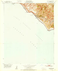
1951 Map of Pitas Point
USGS Topo · Published 1951About this map
Sea Cliff and the industrial activity of the early 1950s California coast define this survey, where the narrow strip of land between the steep foothills and the Pacific Ocean is crowded with infrastructure. Along this corridor, the Southern Pacific railroad and Highway 101 follow the natural curve of the shoreline. The hillsides above are heavily marked by petroleum extraction, specifically noted by clusters of Oil Wells and an Oil Sump near Madranio Canyon.
Find a feature on this map
22 named features on this map. Tap any name to fly to it.
Don’t see what you’re looking for? This feature index may not catch every label — zoom into the map to look around manually.
Map Details
Editions of this 1951 Pitas Point Map
2 editions found
Other maps of this area

1904 · Ventura
USGS Topo · 1:62,500

1941 · Ventura
USGS Topo · 1:62,500
1944 · Carpinteria
USGS Topo · 1:31,680

1949 · Los Angeles
USGS Topo · 1:250,000
1950 · Pitas Point
USGS Topo · 1:24,000
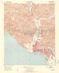
1951 · Ventura
USGS Topo · 1:24,000
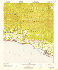
1952 · Carpinteria
USGS Topo · 1:24,000
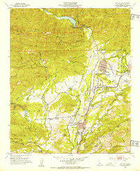
1952 · Matilija
USGS Topo · 1:24,000
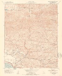
1952 · White Ledge Peak
USGS Topo · 1:24,000

1955 · Los Angeles
USGS Topo · 1:250,000